


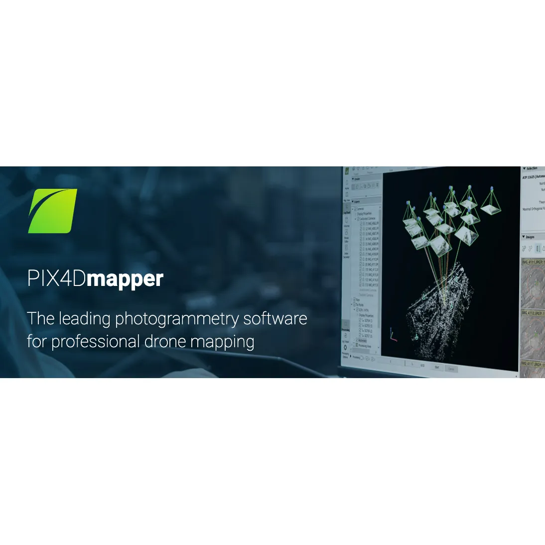
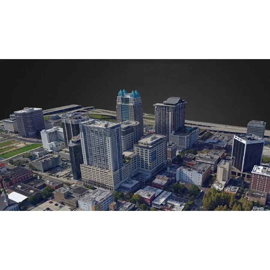
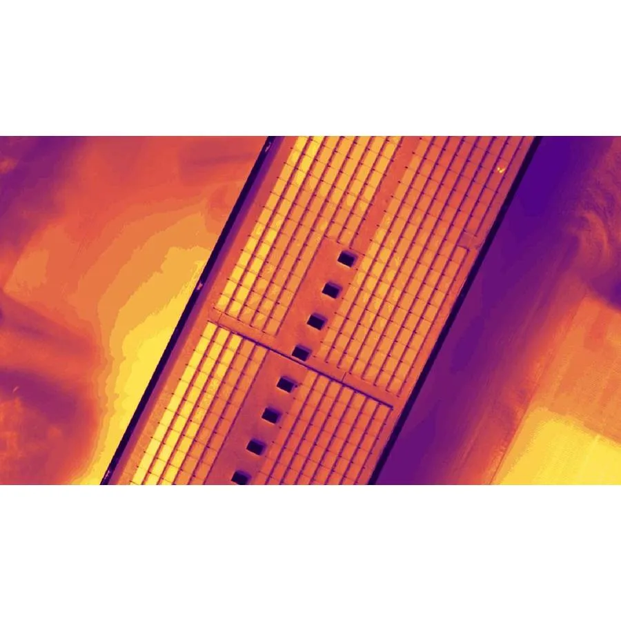
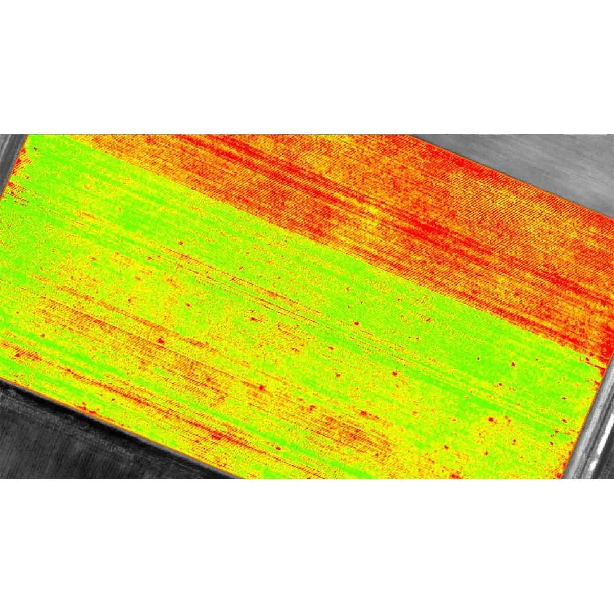
PIX4Dmapper is a leading photogrammetry software designed for professional drone mapping. It offers advanced data processing capabilities to transform aerial and ground images into accurate, georeferenced maps and 3D models. This software is tailored for applications across various industries, providing survey-grade results with high precision.
Please note the pricing is based on USD converted to CAD and can vary depending on the exchange rate at the time of purchase. Please contact our team for an accurate price quote.
Key Features:
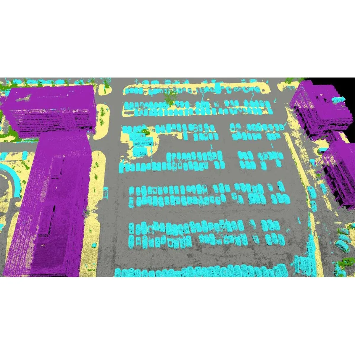
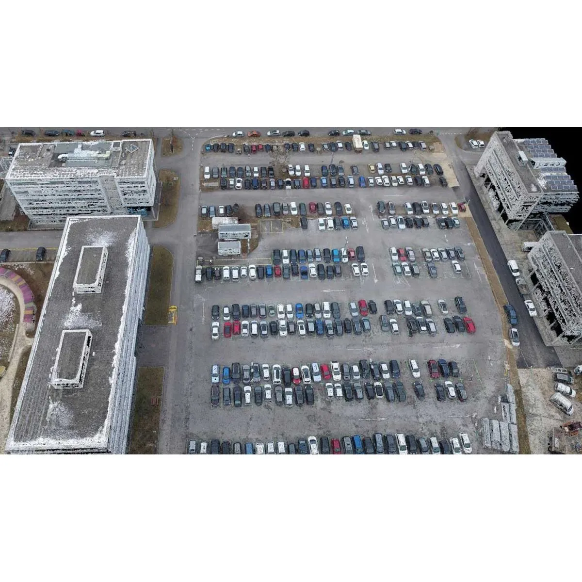
- High Precision and Accuracy: Achieve sub-centimeter accuracy with photogrammetric analysis, ensuring precise results for detailed mapping and modeling.
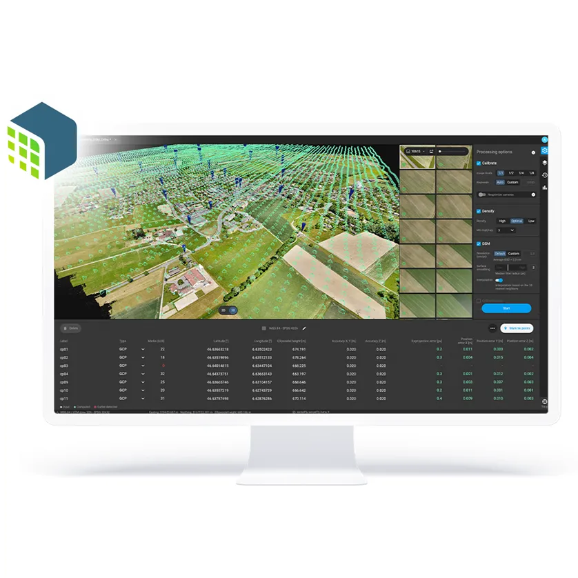
- Customizable Workflow: Define areas of interest, select processing options, add ground control points, and edit point clouds, DSMs, meshes, and orthomosaics for tailored project outcomes.
- Flexible Processing Options: Use default templates for automatic processing or create custom settings for full control over data quality and processing.
- Versatile Application: Suitable for a wide range of industries requiring detailed and accurate geospatial data.
Specifications:
- Ground Sampling Distance (GSD): 1-2 pixels in X, Y directions; 1-3 pixels in the Z direction.
Additional Information:
- PIX4Dmapper is designed to support professionals in surveying, construction, agriculture, and other sectors requiring detailed aerial mapping and 3D modeling.
- The software offers a user-friendly interface and robust processing capabilities to handle complex photogrammetry tasks efficiently.
PIX4Dmapper Photogrammetry Software is an essential tool for professionals seeking advanced drone mapping and 3D modeling capabilities, offering precision, flexibility, and efficiency in data processing.


)")

")


